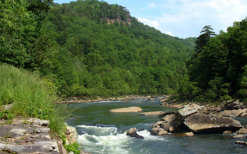
Gauley River National Scenic Recreation Area was established in 1988 to preserve 25 miles of free-flowing Gauley River and six miles of the Meadow River as they pass through scenic gorges and valleys containing a wide variety of natural and cultural features. Located in southern West Virginia, this unit of the National Parks System encompasses over 11,000 acres of land and is located between the towns of Summersville and Fayetteville.
- Location: Fayetteville, West Virginia
- Directions: Although the actual locations for rafting outfitters will vary, most are located along or close to U.S. Route 19 between Oak Hill and Summersville. U.S. Route 19 connects with I-77/64 in Beckley in the south and I-79 in the north.
- Activities: Mountain biking, hiking, camping, rafting, kayaking, fishing, rock climbing
- Admission: currently none but there is a charge to raft with commercial companies
The Gauley River itself begins in Pocahontas County, West Virginia, at an elevation of about 4,600 feet. Flowing generally west-southwest and draining 1,422 square miles, the Gauley meets the New River at Gauley Bridge and forms the Kanawha River, a major tributary of the Ohio River. From source to mouth, the river travels 107 miles and drops to an elevation of 600 feet, resulting in an average rate of fall of 37.4 feet per mile.
Vegetation is diverse and abundant. Extremes in topography, elevation, and microclimate have caused tremendous variation in plant life. Most of the river basin contains central hardwoods including the red and white oak, American beech, yellow poplar, hemlock, and dogwood.
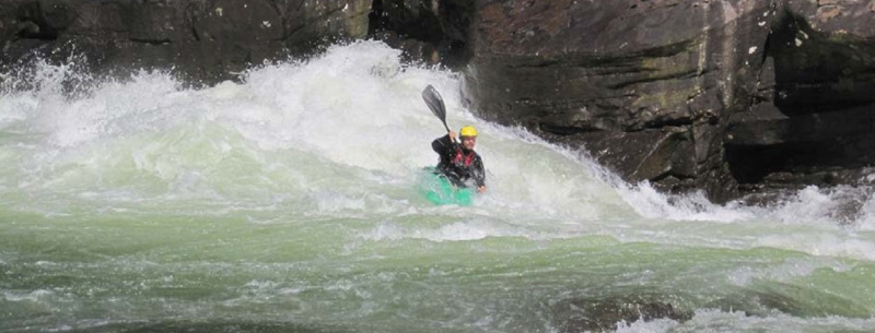
Downstream from Summersville Dam, the Gauley River flows through a gorge of up to 500 feet deep in places for approximately 24 miles with a stream gradient of 28 feet per mile. Within the gorge, the river is characterized by alternating pools and rapids with torrential water, boulders, and exposed bedrock. It is these last 24 miles that make it one of the most adventurous white water boating rivers in the east.
The Gauley River can be run through-out the year but its greatest draw is during the fall “Gauley Season.” After Labor Day, the Army Corp of Engineers starts lowering Summersville Lake to its winter pool, giving whitewater enthusiasts 22 days of the Gauley’s best water levels.
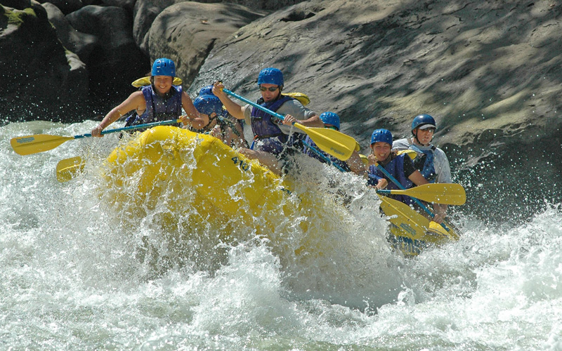
With a guaranteed flow of over 2500 CFS, this complex stretch of whitewater features more than 100 rapids with a steep gradient, technical runs, an incredible volume of water and huge waves. In fact, it was the site of the 2001 World Rafting Championship!
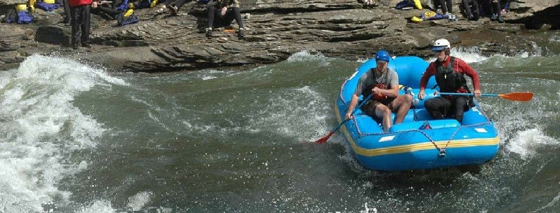
The river is divided into an upper and a lower section. The Upper Gauley flows through a narrow canyon, dropping at an average of 32 feet per mile. The level of difficulty ranges from beginner Class III to advanced/expert Class V+. The upper Gauley offers tremendous class III to V+ drops in steep, turbulent chutes such as Pillow Rock, Iron Ring and Sweet’s Falls, and rocky routes that demand constant maneuverings such as Lost Paddle and Shipwreck. The Lower Gauley is a 12-mile stretch, rated class III to V that feels like a watery roller coaster.
There are several rafting outfitters who run the Gauley. They offer several different trips and feature different sized rafts. Obviously, the larger the raft, the less tossed around you will be, good or bad.